Friday, July 1, 2011

Summer 2011 Outlook

At the end of March, I wrote an outlook for Spring that predicted a very active severe weather season in this part of the country.  Unfortunately for many, this prediction was spot-on.  In fact, even more so than I expected.  From Minneapolis, to Joplin, to Birmingham...severe weather ripped the nation apart.  Right here in Kentucky we recorded dozens of tornadoes and set new records for rainfall and flooding.  The tornado in Joplin, MO set a new record for most lives taken by a single tornado in U.S. history.  Just two weeks ago we saw Kentucky’s two largest cities, Louisville and Lexington, both go under tornado warnings within a 24 hour period.  Spring was a wild season and we probably won’t see anything quite like it in many years to come.

I’m running about a month late, because hurricane season technically began on June 1st, and astronomical Summer began on June 21st, but I’m going to give this a whirl anyway seeing as how we are just now getting into the real pattern of Summer.  The question is, after the kind of Spring we just had where does Summer go from here?

I think that Summer in Kentucky this year will be slightly different than what we’ve seen in recent years.  For the same reasons that Spring was so wild, Summer will likely stay a little wetter and a little cooler on average than what we’re used to lately.  During a La Nina cycle, the jet stream generally moves northward.  Rather than hanging out along the Gulf coast, it will tend to spend a lot of time flowing across the Midwest and into the Great Lakes.  This alters the storm track and pulls moisture northward into the Ohio Valley and also steers the storm systems our way.  This resulted in a terribly active severe weather season in our part of the world.  We are now seeing the La Nina (cooling waters of the Pacific equatorial region) start to weaken a little and we’re going back toward neutral.  But coming off a La Nina cycle I still think that the overall storm track may continue to bring occasional rainfall to Kentucky through the Summer.  This is not to say that we won’t have dry periods or hot days.  I do think though that the average temperatures will stay in check, and we won’t see a severe drought this Summer.  Remember 2007?  That was a horribly dry and hot Summer with almost zero rainfall for several months.  Summer 2010 wasn’t very fun either.  We saw many days in August last year with heat index readings in the 120s.  I’ve never seen heat index readings that high in Kentucky before in my life.  I do not think we will see a repeat of this in 2011.  I think that overall, Summer 2011 will be a very average Summer statistically and the really intense heat and drought will stay away.

Another consideration is the hurricane season.  Coming off a La Nina cycle, it is very possible that the upper level high that we saw in place last year will not establish itself as persistently this year.  Last year we saw no hurricanes strike the U.S. coastline.  Most storms that tried to invade the Caribbean and threaten the U.S. coast were sheared apart by the intense high pressure aloft that hung out in the Caribbean all Summer and Fall.  With the general location of the jet stream retreated slightly northward, and the historical removal of this upper level high in the Gulf region that we see with La Nina, I think it’s very possible that this year we could have more hurricanes.  Not only this, but those hurricanes will be able to penetrate into the Gulf region and grow stronger as they move into a position where they could threaten the U.S. coast.  I doubt that it’ll be a 2005 type season all over again, but it should shape up to be more active than average in the Atlantic.  How does this relate to Kentucky?  Well, much of the rainfall we receive in September and October comes from the remnants of tropical systems.  The same storms that devastate the Gulf coast are the ones that provide relief and rainfall to the southeastern states during what is typically the driest season of the year.  If we do indeed see a more active hurricane season this year, that could also translate into additional rainfall for Kentucky as some of these systems will pass their remnants over or near the Commonwealth.

So there you have it...if everything comes together as expected I think Summer will be less extreme and more normal for what we should see this time of year.  There will be days in the 70s to go along with those days in the 90s.  There’ll be rain here and there to keep the ground from drying out too bad.  And we’ll see a lot of Jim Cantore on The Weather Channel.  I hope this forecast works out well, for the farmers’ sake.

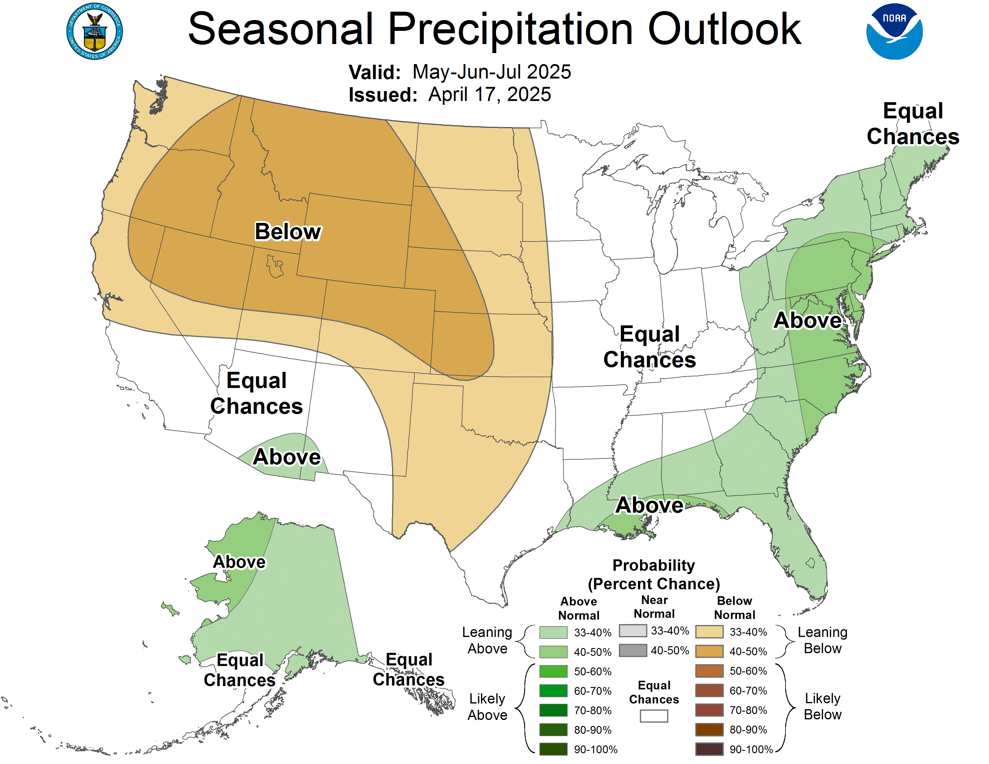
Just for kicks, I looked up the official Summer outlook put together by the Climate Prediction Center.  They are expecting "climatology" to be the rule... which basically means that Summer will be very average in their opinion.  Neither drier than normal nor wetter than normal, neither hotter nor cooler than normal.  Just a very typical KY Summer.  Not too far from what I'm expecting.  Here are their charts:

Temperature:



Precipitation:


-Shawn

Monday, June 27, 2011

Severe Thunderstorm Watch...

Good afternoon.  A Severe Thunderstorm Watch has been issued for much of the Bluegrass of Kentucky valid until 21:00 tonight.  I suspect that this won't be the only watch box issued as we head into the afternoon and evening hours. 

Here is a look at the current watch, as well as current warnings:


The high resolution models point toward convection blowing up rapidly across east-central Kentucky this afternoon....basically in and around the Lexington area.  This will occur as a warm front lifts northeastward through the area today, and runs into a very unstable atmosphere.  SPC has increased the tornado threat for us as well. This morning they indicated a 2% chance of a twister here...  now we are in the 5% range.


We will need to keep a sharp eye on the weather this afternoon!   Tonight and especially tomorrow morning, the cold front of this system will approach and this may trigger more severe weather, particularly if the front slows down which would allow it to come through during the afternoon hours. 

Just make sure to keep your NOAA weather radio on at all times so you can recieve the latest warnings as they come out.  If you have outdoor plans today, I'd definitely recommend having a plan in case a severe storm approaches your location.

-Shawn

Tuesday, June 21, 2011

More storms

Here's the latest weather map:


You can click on it for a larger view.

The warm front has passed to our north now, but the cold front is still to our west.  This puts us in the zone called the "warm sector" of the system...where warm southerly winds carry heat and moisture into our area.  This, combined with ample sunshine out there this morning and a good upper level jet flow is creating a very ripe atmosphere for thunderstorms to blow up.  In fact, storms are already going now across middle Tennessee and are moving northeast into southern Kentucky this morning.

As the day wears on, I expect thunderstorms to continue to blow up along the I 65 corridor of Kentucky and intensify into possible supercells and small line segments.  These storms will drift northeastward into the Bluegrass counties of Kentucky later this afternoon.  VERY heavy rainfall, flash flooding, and high winds with downbursts will be the threats from these storms.  Intense lightning will be a good bet too I think because of all the water vapor in our airmass.

Stay alert today, especially if you're going to be outside as these storms could blow in very quickly.  Tomorrow, the cold front on the above map will blow into Kentucky, and more severe weather will be possible along the front.

-Shawn

Friday, June 17, 2011

Storms moving in...


Storms will move into the I 65 corridor of Kentucky this evening.  Isolated wind damage and hail will be possible.  Farther east... the Lexington area looks to stay dry for at least a few hours.  We MIGHT see a little storm activity here this evening but most of this stuff will slide just to our south.  In any case...any rain we get will be welcomed!

Tomorrow..  this entire area will see a good shot at thunderstorms, and some could be severe with damage.  Stay alert if you plan to be outdoors tomorrow..  especially if you plan to be at the lake or on the river somewhere.

-Shawn

Tuesday, June 14, 2011

Finally... some rain.

Back in the Spring, I never thought I'd be saying this... but we need rain.  The first 14 days of June have proven to be bone dry here in Lawrenceburg, as well as most areas in the Bluegrass.  In fact, it's been 19 days since we had any measurable precipitation at all here.  The yards are turning brown and are getting a McNugget-like crispyness to them.  After record setting rains in April and into May, we are now praying for some moisture from the sky.

It looks like that might finally happen on Wednesday.  An area of low pressure will organize just west of us and move northeastward just  north of the Ohio River tomorrow.  This should be a good enough spark to finally break the sky open and create rain here in central Kentucky.  In fact, some strong storms could be possible.  That's something we'll have to keep an eye on as the Storm Prediction Center has the entire state of Kentucky in the Slight Risk zone for severe weather as of right now.

I'm going to try and post up a nice radar image to follow the rains here:


Looking ahead to the weekend, it appears that we might actually see another good shot of rainfall from Friday into the first part of next week as a frontal system may stall out in the Ohio Valley.  This would allow multiple complexes of thunderstorms to ride along the front and attack the central Kentucky area from the northwest.  One thing I've learned in my years studying weather in Kentucky is that you always have to be cautious forecasting rain in the Summer.  The models seem to pick out what should be a good rain-making system and then that type of setup never materializes and the forecast for rain becomes a bust.  So I'm sort of a "gotta' see it to believe it" kind of guy when it comes to heavy rainfall in the Summer.  But...  I'll just throw it out there that the GFS model in particular is showing a LOT of rain over the course of the upcoming weekend.  With training systems repeatedly moving in, it could possibly turn into a nasty weekend.  But.. we'll wait and fine tune that forecast later.  And if it does rain, we do need it so no complaints here.

This is what the GFS model is currently showing for Saturday afternoon:


You can see that it's wanting to stretch rainy weather from Minnesota all the way to South Carolina as storms ride along that front.

It's been a crazy year weatherwise.  From record cold and snow, to record rainfall, to tieing all-time record high temperatures in June with zero rainfall... we've seen it all this year.  I'll start looking into the July-September forecast soon.  That is always the part of the year when it gets hot, humid, and dry here...so it'll be interesting to see where we go from here in 2011.  Will this wild pattern continue?

Keep the NOAA weather radios ON and set to alert mode tomorrow.  (Really, they should be 24/7).  If you don't have one, pick one up at Kroger for $29 bucks... or if you can afford to spend a little more..the Midland WR-300 is awesome and is just a little bit more.

-Shawn