-Shawn

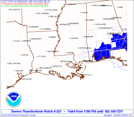
Current Watches/Warnings

As of noon today, the storms that brought Tornado Warnings to central KY have pushed off to the east and everything is calm for now. Clearing skies has allowed sunshine to peek through and most of the afternoon will be beautiful!
Here is the latest SPC outlook for the rest of today:

You can see that eastern Kentucky is under Moderate Risk, while central and western KY remain in Slight Risk. I think that based upon current satellite imagery, radar imagery, and the new 12Z computer model data that I've seen... the most severe of the weather this evening will roll through Tennessee and eastern KY. That doesn't mean that Lawrenceburg/Frankfort/Lexington are totally in the clear... just that the WORST weather will probably miss us just to the east and south today.
This is because of what I meantioned last night... the area of rain and cloudiness this morning has prevented full destabilization of the airmass over central KY. If we hadn't had that rain this morning...we could be looking at a deadly situation here today. But as it is... we may be spared from the worst.
Remain on guard today though... stay alert to NOAA weather radio for watches and warnings as they come out. If you have family living south and east of here, call them and tell them to be ready in case tornadoes threaten their area.
Here is the latest statement from the National Weather Service office in Louisville:
FOR NOW...WHILE GREATEST INTENSITY AND COVERAGE OF SEVERE WEATHER
INCLUDING TORNADIC SUPERCELLS WILL BE TO THE SOUTH OF KY (AS PER SPC
OUTLOOK)...CENTRAL KY COULD WELL SEE ANOTHER ROUND OF SVR WEATHER
FROM MID AFTERNOON THROUGH THIS EVENING...WITH ALL SEVERE WEATHER
MODES POSSIBLE.
Will continue to monitor the situation through the afternoon....
-Shawn
No comments:
Post a Comment